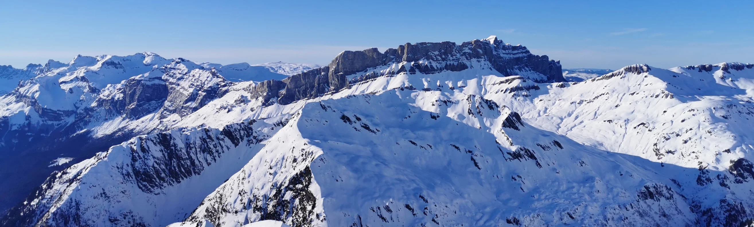
Les Deux Alpes is a prominent ski resort in the French Alps, boasting an extensive ski area with over 200 km of ski runs. Plan your ski holidays in advance: download the latest Les Deux Alpes piste map to familiarize yourself with the trails and lifts ahead of time.
Download our detailed piste map here, or pick up a copy at ticket offices and information points throughout Les Deux Alpes.

Click on the links below to download the latest Les Deux Alpes piste map
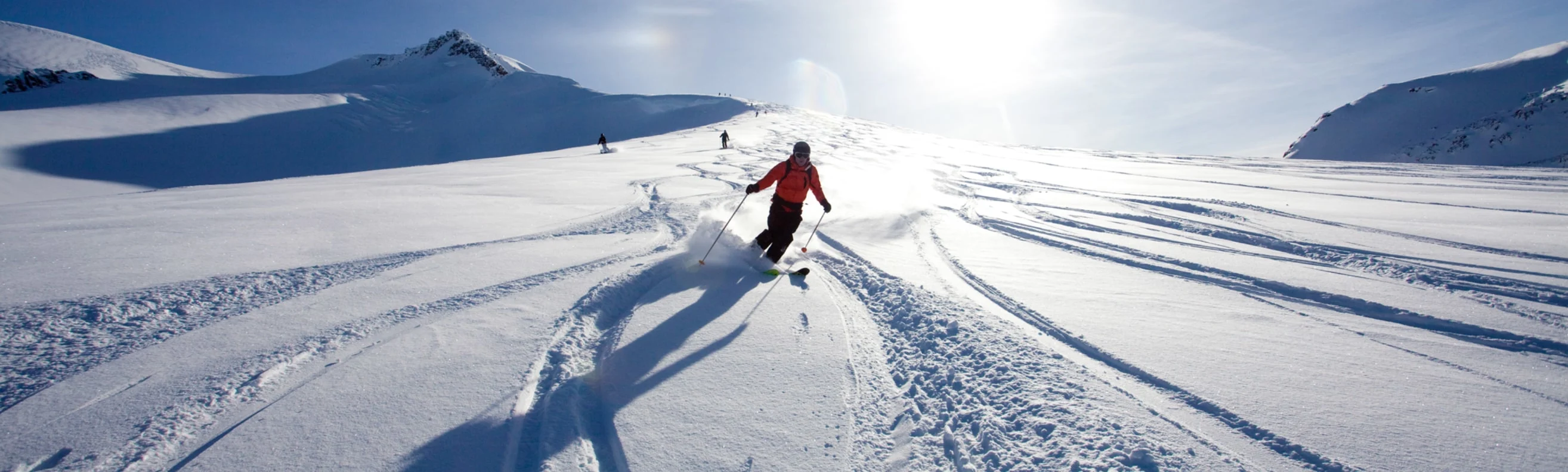
The glacier is the highest sector of the 2 Alpes ski area starting from the summit at 3600 m and ending at 3200 m. You can download the latest Les Deux Alpes Glacier 3600 piste map just here below.

Download the Les Deux Alpes Glacier 3600 piste map pdf here
Val Thorens - La Plagne - Chamonix - Tignes - Avoriaz - Val d'Isère - Méribel - Les Arcs - Les Menuires - Courchevel - Flaine - La Clusaz - Serre Chevalier - Samoëns - La Rosière - Montgenèvre - Val Cenis - Megève - St Martin de Belleville - Isola 2000 - Risoul - Valmorel - Les Gets - Morzine - Les Deux Alpes - Alpe d'Huez - Vaujany - Sainte Foy Tarentaise - Saint Gervais les bains - Châtel